The
Friends
of
Beckenham
Place Park
Home and News About the Park About the Friends Membership and Contact Events
Home and News About the Park About the Friends Membership and Contact Events
|
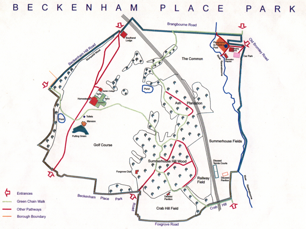
Maps of the Park
Directions for smartphones, tablets, android devices, laptops can all download map images and mapping software and apps. For Android I suggest Maverick and MyTrails. Digital maps like OSM Cycle Map, Opencyclemap and Open Hiking Map and 4Umaps have the footpaths marked for the park. This kml file of waypoints can help you get around the nature trail and more routes will be available soon. |
gpx