|
History Webpage format (underdev.)
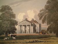
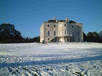
Buildings
Interior Plaster Decor
Interpretation
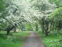
Nature Trail
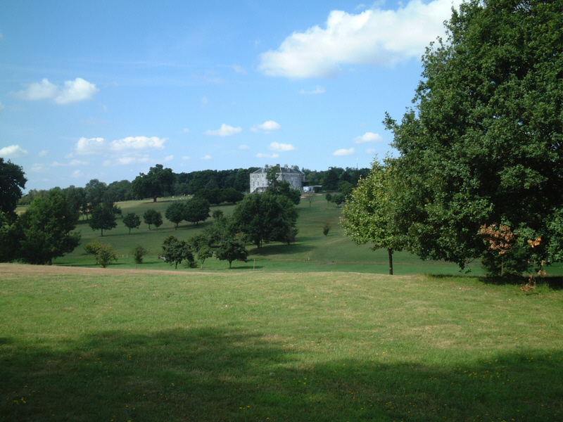
Gardens
Sensory Garden
Woodland
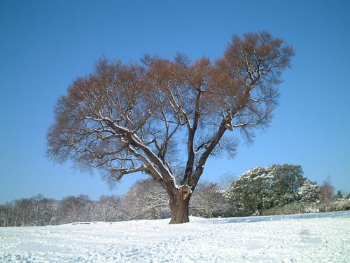
Ancient Trees
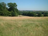
Meadows
Riverside
Wildlife
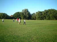
Golf Course
Brochures and Guides
Newsletters Archive
|
Buildings History
Nature
Trail
Sensory Garden Gardens
Woodland
Meadows
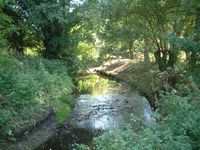
Riverside
Wildlife
Golf Course
The
Interpretation of Beckenham Place Park will relate to its Natural
features, the history and human impact.
Following the various links will, we hope, give you
our interpretation though others may wish to apply a different
interpretation.
The known history
has been related reaching back to the
medieval period. There is always
something more to find whether through records of archaeology and
various local histories. Very
little if any real investigation has been carried out on the ground and
as we have found in the history, some information has been wrongly
construed.
The oldest features in the park are underneath it and
in some places pushing through to the surface.
The Geology is
based on underlying chalk which doesn't come to the surface here but is
overlain with Woolwich and Blackheath beds which are part of the Harwich Formation of shingle, clays and sand with
London Clay over it.
The clay has eroded away in places and the
Blackheath beds are exposed or have thin layers of topsoil and woodland
floor over them. The Blackheath beds are dated at 54 million years.
Some fossils including shells and shark teeth appear in these beds and Rhinoceros bones have been found
nearby in the clay layer as the geology here was in a different
position on the planet but moved with tectonic plate movement.
The
shingle beds were once on the floor of a warm sea. Clay was deposited
by water movement probably from rivers such as the Thames changing
course and depositing silt over millions of years. The Geology here
would be much the same as for the whole Thames basin but is complex.
The British Geological Survey (BGS) have some web page apps
showing maps and various geological data (BGSgeoindex and BGS Geology
Viewer).
Similarly, the
first plantlife would have covered much of Britain or at least the
southern part of it and The Great North Wood covered the whole area
until humans began to interfere with the environment either clearing
woodland for fuel and agriculture or clearing undergrowth to make
hunting easier. We have to generalise as to what might have
happened during Prehistory, the Stone Age, The Bronze Age, The Iron Age
and even into the Roman, Saxon, Middle Ages and Medieval as no written
history was made but archaeological artefacts show that
those early occupants had skills, crafts and art which in may ways
exceed in quality some of the things we do today.
The Roman invasion
brought a change and cultural shift with a different, we assume,
management system in terms of politics, building, agriculture,
manufacture and art. Nothing lasts forever so the Romans declined and
the so called Dark Ages began. Whereas the Romans did record history
and mundane day to day activity the literacy skills varied among the population.
A Roman
road passed through one corner of what was John Cator's parkland on
route from Lewes in Sussex to London passing through West Wickham and
Beckenham
but is now mostly under private housing development but to date no
actual
roman remains have been found. The route of the road is visible in a
few places such as Addington, Spring Park and a sports field in Langley.
We
have extensive history pages from our own researches improving on the
earlier historians who only recorded more prominent landowners and
estates. The earliest evidence of human
occupation is from history via the Domesday book and Beckenham's entry.
Hasted's History of Kent records some local landowners and some estate
plans
from the 17th and 18th Century show a pattern of fields, meadows and
woods.
The earliest maps by Rocque, Andrews and Drury, and Carey show some dwellings
along what is now the road through the park before John Cator built his
house and diverted the road. Some parts of the park still resemble the
field shapes from the estate plans.
Page under development
|
|